Technical Details
Type of itinerary: Hiking
Total elevation gain: Approx. 770 m
Difficulty: T–E (Easy/Moderate – No particular difficulties, it simply requires a minimum level of basic fitness)
Departure: Levà (Sori – GE)
Exposure: Variable
Distance & Time: Approx. 12 km / 3:30 – 4:00 hours
How to Get There
Reach Levà, a hillside hamlet located right above Sori. From Sori, follow the road that goes up the valley (signs for Capreno/Sussisa). Follow the turns towards the hamlets until you reach the small square of the Levà church. Parking is available near the village (subject to availability).
Trail Description
Part 1: From Levà to Passo Croce di Teriasca
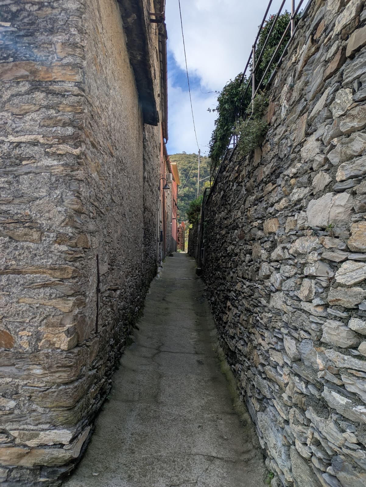
From the Levà church square, take the mule track that climbs on the left-hand side when facing the church facade. Head up a very steep concrete path; past the houses of Upper Levà (Levà Alta), the concrete gives way to a proper trail.
Leave the mule track that climbs to Case Becco on your right (marked by a VAB sign) and continue almost on a flat level with a few gentle ups and downs, cutting midway across the slope of the Rio Levà valley.
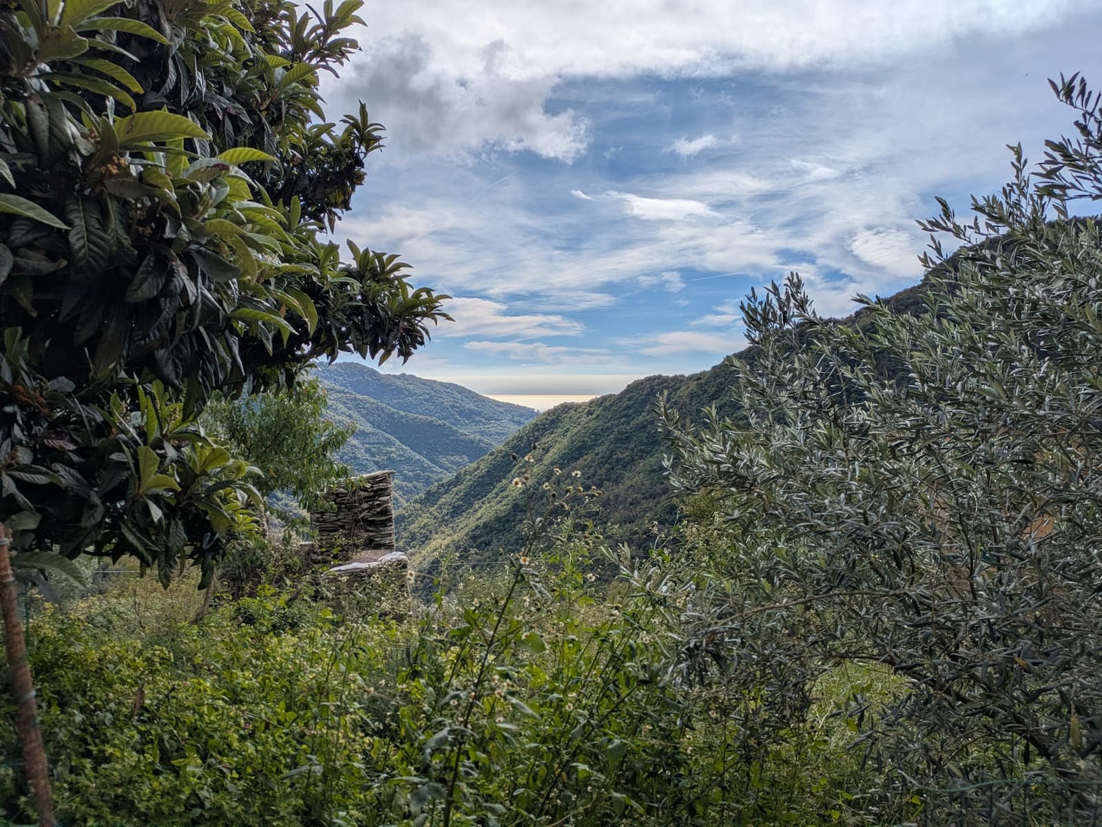
You will reach a beautiful panoramic viewpoint featuring ancient ruins on the south-east side of Bric Preli. Walk down a few steps (VAB sign) and continue on flat ground among shrubs and a few brambles. Shortly after, ignore a climbing mule track on your right (signposted) and reach the junction at Passo Croce di Teriasca. Leave the path that descends to Teriasca on your left and continue straight along the ridge.
Part 2: Through Cortino, Case Bruciate, and Capreno
Following the ridgeline past ruins and minor trail junctions, the incline steepens and the trail drops in altitude through a series of sharp, narrow switchbacks until reaching a signposted junction (VAB sign). Here, leave the left path and turn right onto flat ground. Pass through the houses of Cortino on a concrete path until you reach a paved road section. Turn right, pass next to the small chapel of Case Cortino, and take the descending mule track.
The track makes for an easy descent, touching a hairpin bend of the paved road and continuing past the last few houses; further down, the terrain tends to become uneven, and the dry-stone walls along the sides appear more weathered.
After a series of switchbacks, you will reach Case Bruciate. Here, pass through a small archway between the houses and turn left, beginning a moderate climb along the right bank of the stream (geographic right). Ignore a climbing mule track on your left and, staying always on the right side of the watercourse, you will reach the Capreno Bridge (Ponte di Capreno).
Turn right, cross the beautiful bridge, and turn left uphill until you reach the paved road. Cross the road to take another climbing mule track (VAB signs). The track climbs steadily and emerges onto the provincial road: cross it and take the small concrete road that winds up between the houses, continuing uphill until you return to the Capreno Church.
Part 3: From Capreno to Canepa and back to Levà
From the church, cross the provincial road, walk a few meters to the right, and take the descending concrete path on the left (Via Lajola, VAB sign). Past the last houses, this turns into an ancient mule track, descending past ruins, small streams, and a few natural obstacles along the path, until you reach Fulle and a marked junction. Here, ignore the descending concrete staircase on your left and turn right uphill.
The mule track climbs alongside a row of traditional terraced houses (many of them inhabited), makes a sharp left turn, continues uphill, and then levels out. Ignoring three junctions on your right, you will reach the Nuciano Cemetery, an area that may be subject to ongoing construction work for a new driveway. Pass the construction area and make a sharp left turn.
Descend until you reach a stone bridge, then, with a gentle climb among ruins, you will arrive at a junction on a concrete path. Turn right and climb a concrete staircase. Leave the oratory on your left to reach the square of the Canepa Church.
From the square, take the paved road to the right, climbing for less than 100 meters, then turn right onto the stone staircase (Trail marker: 3 red dots in a line). The staircase climbs, then levels out and leads to a junction: to the right, a path leads to the rock-climbing wall (palestra di roccia); to the left, it returns to the asphalt road. Instead, continue straight uphill. Past a few recently built houses, you will emerge onto the Levà–Cretti municipal road; follow it to the left. Staying on the paved road, a brief descent brings you straight back to Levà, closing the loop trail.